Thursday, June 24, 2010

desert. in washington?


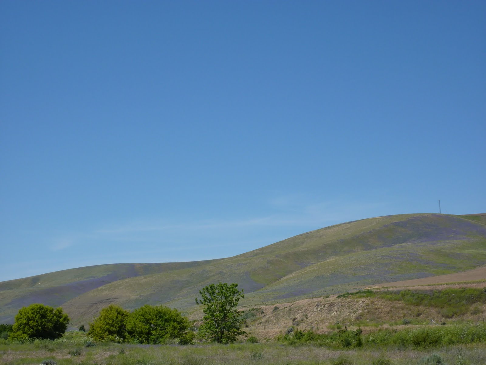
yes, in fact. we spent a couple days doing mostly nothing in spokane. nonetheless, my mom was able to snap the above picture of the city from across their river. i must say this about the northwest--they take their sports seriously. not only did we see countless people running and biking, but they were about to have hoopfest, a massive 3 on 3 basketball tournament at spokane. interestingly, the city also hosted the world's fair in 1873--the site was turned into a park along the riverfront afterward, and it is also home to gonzaga university. anyway, this morning we began heading from spakane, on the extreme eastern side of the state, to walla walla, in the southeastern part, just a few miles from oregon. on the way, much of what we saw was this: fields of wheat intermingled with grazing land, filled with these beautiful purple wildflowers. and i do mean filled.around lunchtime we rolled into walla walla, famous for their sweet onions and wine, named after an indian tribe that had inhabited the area. we ate at a delicious local place called olive and then went on a remarkably in-depth and quite interesting historic tour of downtown, in heat that rivals that of raleigh back home. (apparently this part of washington is in a desert--it gets over 100 in summer and below freezing in winter, with a freezing fog. that sounds scary). we went to a few wine stores to do some tastings, and i did learn quite a lot--the people were quite nice and helpful. anyway, by about 3:30 we realized that there really wasn't all that much else that we wanted to do in town, so we decided to push on.
but first we headed slightly to the west of town to go to the whitman mission, now a historic site. in 1835, reverend whitman and his young wife, along with a few others were sent out to what would become the oregon territory. whitman was trying to convert the cayuse indians--he was also a doctor, and helped to treat them. eventually, a small pox epidemic wiped out many of the indians, despite whitman giving them medicine. when the indians saw that it did not work as well on them as on the white men, they blamed whitman, and came to the mission, murdering him, his wife, and 9 other people. the incident led leaders in washington, dc to put a government in place in the oregon territory, the first on the west coast. whitman, incidentally, also helped to carve the oregon trail.

after visiting the mission, we went south into oregon, stopping in the town of pendleton. my family has a special relationship with pendleton--my grandmother used to sell their fantastic wool blankets and clothes in her store, and we all have quite a bit of it. so when we saw pendleton, we pulled over. sure enough, the mill is in the town where it all started 101 years ago. we decided to spend the night here, and found a great b and b called the riverwalk. much like walla walla, but much smaller, pendleton is a cute old west meets west coast town. we had dinner and then retired for the night. tomorrow morning we are going to go on a tour of the mill before heading west along the columbia river towards portland.

o canada


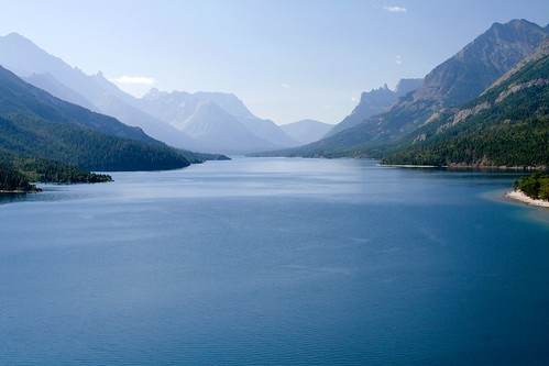
on monday it was supposed to rain. all day. so we decided to forsake a second day of hiking in glacier and instead decided to drive north to the waterton lakes national park side of the international peace park. it was pretty neat! we actually crossed the border inside the park, crossing over into alberta. of course, much of what we saw was like the picture at the top of this post--mountains poking out occasionally from clouds. we drove into waterton lakes park via an indian reservation, got there, went to information, and then headed directly for the prince of wales hotel. this beautiful hotel is located on a hill overlooking one of the main lakes in the park--stunning from a distance, and quite gentrified up close. it was even beautiful on the inside, all open spaces with huge windows overlooking the lake. we went in and had a delicious lunch, peering out the window through the rain. after lunch it was still drizzling, and we didn't have the energy to do much other than leave the park--we still had a full day of driving ahead of us. below is the view over the lake from the hotel, although in the sunlight it looks like this.
we circled around the park to the north on highway 3, and in the crow's nest pass area we came upon this massive, massive rock slide, called the frank slide. it had happened in 1903, completely covering a mining town of 600 people at 4 in the morning. apparently to build the highway they just sliced through the fallen rocks, and by rocks i mean boulders. theodore got in the way of the picture. we then circled around back to the west, crossing into british columbia and heading south towards idaho. where we saw one of the world's largest trucks--used for carting coal, it can carry 2,000,000 tennis balls and is called a titan 38-19. by then the sun had begun to come out and we could really see the mountains around us. they were absolutely beautiful. it's different out here--i mean, i know the mountains are bigger, and more untouched, but it's more than that somehow. anyway, both southern alberta and southeastern bc were stunning. and had very expensive but well-regulated gas. we crossed from bc into idaho, which is filled with mountains and lakes in the northern panhandle (which should have gone to montana, incidentally). we came down the panhandle of idaho, crossing the border into washington state and headed to spokane, where we spent a couple of days relaxing and recovering from sports camp, hiking, and driving. as well as doing laundry, planning ahead, etc. the pic below was taken in bc.

glacier

wow. i don't know how many other words can aptly describe glacier national park. just wow. for those of you who don't know anything about this amazing park, it is in far northern montana: in fact, it is combined with a park in canada to be glacier-waterton international peace park and is a world heritage site. it also celebrated its 100th birthday this year. there's a famous road that crosses the park called the going-to-the-sun road, which had not yet been completely plowed when we arrived, so we could only drive the 17 miles on the east side. it used to have over 150 named glaciers, and now has just 26--but it isn't named for the active glaciers. it is named because glaciers carved all of the mountains. it is surrounded by several indian reservations, the largest of which is the blackfeet. ok, now that you have the basic facts...

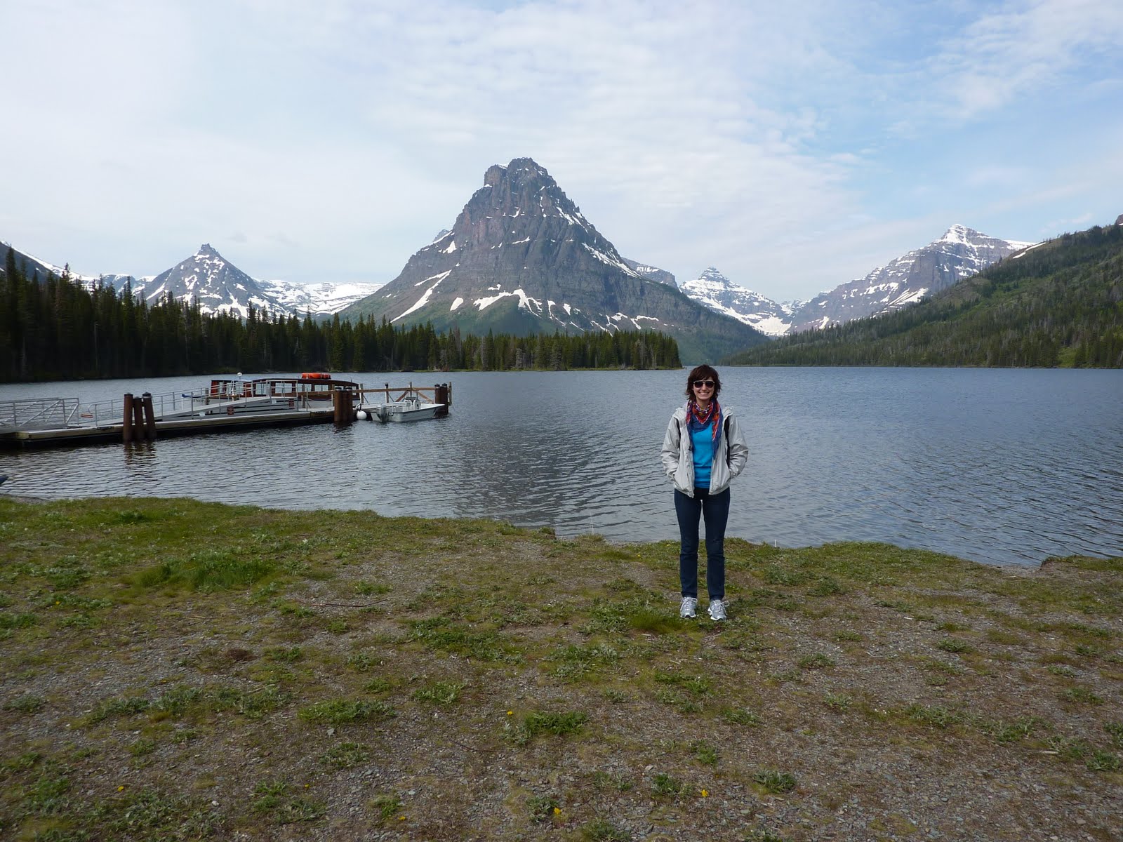
we drove up to glacier from livingston--about a six hour drive all told. and what a drive. we covered everything from mountains to plains and back again. we spent the night at a sub-par motel called the dancing bear inn in a town called east glacier park, though not in the park itself. on sunday morning we woke up fairly early and drove into the park for the first time. we went to an area called two medicine, named for the three lakes: lower two medicine, two medicine, and upper two medicine. they got their names (we later learned from ranger lynn; that's her on the right) because a tribe of blackfeet from the east side of the park and a tribe from canada accidently set up their camps on opposite sides of the lake. they took this as a good sign, and combined their camps--medicine is their word representing power and luck. hence, two medicine. that day we were going to take a boat across two medicine lake and then hike up to upper two medicine lake. well, we started out well enough--the boat ride was awesome, with ranger lynn giving commentary about the mountains and their names, etc. once we crossed the lake, we set out to hike, first to twin falls, which is pictured at the left. we hypothesized that at one time the falls fell down the middle and at some point it diverted itself. anyway, the creeks, rivers and lakes at glacier are beautiful because, as you can kind of see in this picture, the stones are these beautiful shades of grey, red, and turquoise. and with the water running over them, they are almost jewel-toned.after spending a little time at the twin falls looking for american dipper birds (i kid you not) we continued on our way up to the upper lake. on the way, lynn was pointing out wild flowers, such as these beautiful glacier lilies, explaining things about grizzly bears, telling indian stories and various other interesting tidbits. after a couple of hours we reached this beautiful sub-alpine meadow that lynn is standing in above. in the midst of these glacial mountains and giant forests, this beautiful meadow filled with grasses and small trees, lots of wildflowers. apparently it is what is known as an avalanche chute--an avalanche will fall, taking everything with it except the trees so small they are below the snow line (which isn't even really that small). these meadows are what is left. the picture directly below was taken facing back to the east toward two medicine lake--it shows how the glaciers carve mountains really well. they leave behind a bowl shape--a u-shaped bottom and steep sides.finally, finally, after another hour, we reached our destination. but only after climbing up a snow bank several feet high. (there's your snowball, aunt b). this lake was even more beautiful in person that it seems in the picture. the blotch in the center of the water is ice--it still covered the center of the lake. it was also flooded: they had a lot of rain that spring (and by that i mean june), so the lake was flooded. directly below the edge of this picture are logs which are normally seating for hikers such as ourselves, but they were practically underwater. it was one of those moments, you know, when you really only see how wonderful and beautiful this world can be.after lunch by the lake, keeping a lookout for grizzly bears, we hiked back to two medicine lake and took a boat back to the other side. by this point it was starting to cloud over, but mind you, they said that it was going to rain all day, so we were actually quite lucky. we headed out of the two medicine area and went north to the going-to-the-sun road, entering the park again at st. mary. this road was amazing! it was finished in 1932, and is itself a national historic landmark. we stopped periodically at places like this breath-takingly beautiful river-carved gorge. and at the goose island overlook, one of the most photographed spots in the park, just below this paragraph. we also saw our first glacier--jackson glacier! for those interested, being a glacier is actually hard work--namely, it has to be moving, in addition to being a certain size (which i am currently forgetting). when they saw that the glacier are disappearing, they usually mean that they are turning into what they call permanent snow fields: snow that is there permanently and doesn't move, which makes it not a glacier. anyway, that's the glacier to the right, in case you wanted to see it.
we had to turn around at the jackson glacier overlook--we heard tell that in the process of plowing the road they found a landslide, and it was understandably slowing down the process. by the time we returned to st. mary and settled down for dinner at the delicious park cafe, it was hailing. really really. while i worried for my car, it was only pea-sized, and i returned to my indescribably delicious boysenberry pie (they were out of huckleberry cream). we then slowly returned to east glacier park through the rain and hail, and slept very well that night, having hiked about 9 miles.

Monday, June 21, 2010

the great (sometimes white) north


we have now been in south dakota/wyoming/montana for almost two weeks, and i feel acquainted enough with this part of the country to make some sweeping generalizations about it.

people native to this area speak a dialect of english which is similar to, but softer than, the minnesota twang. it's very american sounding.

people here do not eat vegetables, unless you count cole slaw or the lettuce and tomato on your burger. don't come here if you are a vegetarian. on the other hand, the beef, bison, elk, other game, and potatoes are all excellent. i don't think a day has gone by since we've been here that i did not have a huge slab of meat on my plate.

most of the native beers are named after wild animals, plants, or the wild in general. for example, some of the beers i have tried were called 'moose drool,' 'trout slayer,' and 'wilderness wheat.'

everyone, and i mean everyone (or almost), hunts. if 4% of florida has a hunting license, about 75% of montana does. our host in livingston was quite happy because he had shot himself a bear this year, in addition to the elk, deer, and other game he has shot. he was one of the first in the state to get a wolf license last year.

that being said, the hunters eat their kills as well as simply enjoying it for sport. in addition, they also have a great respect for the animals they kill (or try to kill). i heard just as many random wild animal stories as i did hunting stories.

this is wild america--especially montana and wyoming. i mean grizzly bears, moose, baby coyotes, unpaved roads wild. and every picturesque snowmelt stream you can think of is here. i promise.

people in montana are much like texans, but without the money, oil, and romanticized cowboy image. these people are the real deal. cowboy boots and hats, all the men have facial hair, wear camo and plaid button-down shirts, and can tell you exactly what day the next hunting season starts. things are just as far apart, but with trees and more grass in between, although much of montana is considered high desert or is mountains.

standards of living up here are a little more like canada--people have smaller houses, fewer possessions, and cars are really just a means of transportation instead of a status symbol. (they have guns and bows for that). of course, that is because there are fewer high-paying jobs up here, unlike in canada where this is caused by taxes.

montana is mountainous. i don't know what image you have of montana, but i thought it was flat. it's not--and neither is wyoming or western south dakota. eastern south dakota, minnesota, wisconsin are all hilly, but it's downright flat compared to most of montana, although there is a flatter part between the ranges. there is a mountain range just north of livingston called the crazies. just saying.

Sunday, June 20, 2010

buffalo in front, buffalo behind

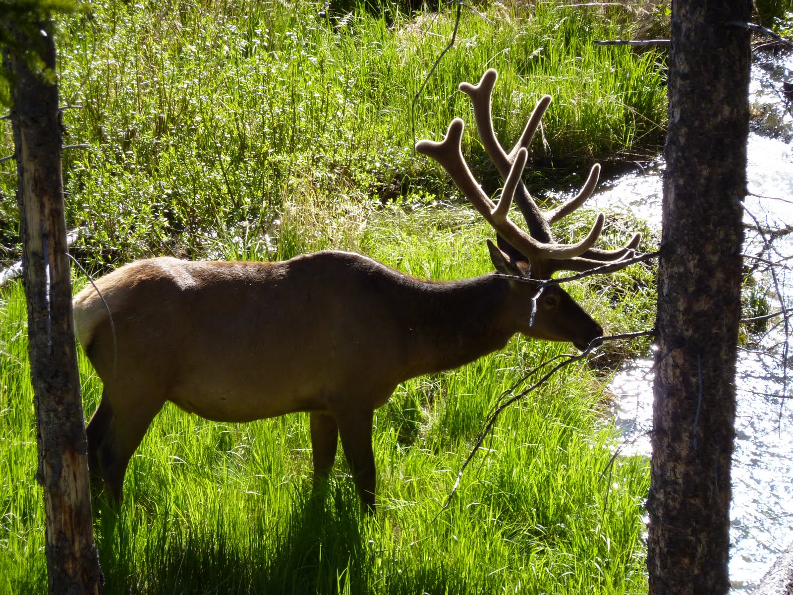
i decided that yellowstone deserved two posts for one reason: wildlife. we had great luck in the amount and variety of animals we saw. very first, not long after mammoth, we saw two elk, one of them quite large, and they weren't that far away either. their horns are still soft and growing, which is why they look like they are covered in fur--they are. not too far after that we saw my favorite animal of the day--a baby coyote. just sitting on a rock, all by himself. at one point he tried to get down, but apparently didn't know where to go, because he just got right back up.
on the way to the falls we found ourselves stopped in a long line of cars on the park road, which is of course only two lanes wide. we figured that we had stopped because people in front of us were looking at something, and on getting out of the car we discovered what--there was a black bear just grazing along the side of the road. we all scrambled for a closer look, with mark saying from further back, 'jeanette, you're too close!' and patrick telling me that if the bear attacked he was going to jump on the roof of the nearest car. eventually a ranger came to get traffic flowing again, and we went on our way.

only to find ourselves stopped again--this time because there was a grizzly bear and cub in the woods next to the road. this was the good thing about going to yellowstone in the early summer--all of the baby animals we saw. traffic was still moving here, so we didn't stop since there wasn't a turnout, but we got a picture anyway. the cub is laying down with his ears perked up in the top left corner.
the next animals we came across were a small herd of buffalo, complete with several little calves. they were right next to the road, and i mean right next to it, so we pulled over like good citizens to get some pictures. there was also a clear creek nearby in which we spotted some fish. of course, once we got back in our armadas two buffalo came up to us--one in front of will's car in front of us, and one behind our car. we were bookended by buffalo. we sat there for a good five minutes before we realized that they weren't' going to go anywhere, so we drove around the buffalo in front.

on our way to the lake we saw a couple of trumpeter swans flying in the air, but we didn't get a picture. these are the beautiful, endangered white swans with black-tipped wings you see pictures of all the time. and from about this time on we saw quite a lot of individual and herds of buffalo, mule deer, and elk, but i won't bother you with any more pictures of them. except for this one--an idyllic herd of buffalo in an idyllic field by a perfect little river.the very last animal we saw in the park was on the extreme western edge--a bald eagle, probably a baby, sitting in a nest. they have an eagle preserve on the park, and apparently there are quite a lot of them around. it was still cool to see the nest--you can barely see the top of its white head sticking out the top.

we did not see any big horned sheep, moose (which i was disappointed about), wolves, and quite a number of other herd animals and birds. but all in all we saw quite a lot--the grizzly and cub was especially lucky.

yellowstone


yellowstone was the very first national park. created by president grant in 1872, it is a giant rectangle in the northwest corner of wyoming, extending into montana and idano. it was known for a long time as the wonderland of america. when the isolated mountain men who lived there in the early 19th century reported about a place where mud boils and there are cerulean blue pools, where grizzlies, black bears, and numbers game, birds and fish all lived in the middle of the beautiful northern rockies--people didn't believe them. it is now the most famous national park, old faithful is the most famous geyser in the world, and just the name yellowstone has become synonymous with america at large.

i used to think that the park was over-rated: i mean, it can't really be that fantastic--it's just a park like so many other amazing american parks i have been to before. i've been to the grand canyon, big bend, badlands, great smoky np--which are al iconic in their own right. i was wrong. yellowstone deserves all the credit it gets--for preserving this one mostly pristine place, and for allowing all americans, and even non-americans to enjoy it.

we left livingston, about 50 miles north of the park, at 7 on friday morning. driving in two matching nissan armadas, all ten of us (we had lost jackie, sadly) headed south. approaching the park from the north, you drive through this beautiful place called paradise valley, passing in between countless mountains--it really deserves its name, and we hadn't even gotten to the park. we approached through the historic brick archway built in 1872, which declares the goal of the parks: 'for the benefit and enjoyment of the people.' and that was even before there was a park service or system at all.

we entered at mammoth hot springs, above, this beautiful and strange-looking cascading, scalding hot water, which just slowly drips from level to level. in the old days, before people had to walk only on the boardwalks, they would scrawl their names in the bottom of the pools using sticks. from there we headed to the upper falls, which pushes through a massive amount of water in this torrential rapid falls, and is on the right. definitely not something you want to fall in. (t's the yellowstone river, by the way). and then it was on to the upper falls, which are the ones on all of the postcards. we hiked for about a mile, maybe a little more, which was really great--the one downside of yellowstone is that there are a lot of people, and this hike allowed us to get away from most of them. we ended up in a place called artist point--aptly named, considering that it produced the picture at the top of this post. the picture at left is one me pretending to push patrick over the edge during our hike--that's the river gorge in the background.

after gazing awestruck at this massive river and its beautiful falls for a while, we headed south to west thumb and the beautiful yellowstone lake (they aren't very creative with their names, apparently). i don't think i have ever seen a lake like this one--an amazingly clear blue, with white-capped mountains on the other side. especially considering that i am a river person myself, i found this lake, and its vastness quite impressive.

from the lake we went to the most famous part--old faithful. luckily we got there not too long before its next eruption--they can guess the time down to plus or minus ten minutes. honestly, it was impressive--it was shooting water almost a hundred feet into the air for about 30 seconds. but is is real any cooler than the rest of the part? no. i thought all the people sitting around it in a big circle more interesting. but we saw it, and here's a picture. the area around the geyser has quite a few hotels, restaurants and gift shops, so we ate a very late lunch--it was already three--and bought stuff. i got some postcards, and mum bought me a really cute teddy bear--wearing the pince nez glasses, safari hat and all.

as we headed north and west out of the park, we stopped by the fountain paint pot. this was a fascinating stop--it had a wide array of thermal features. everything from bright turquoise pools to something they called a bacteria bed: things actually live in this scalding water! but apparently the thermophiles are what turned this area orange. there was also mud that was literally boiling, as well as another geyser that was just happily going off for about the whole half hour were in the area. some of the mud pots only appeared after an earthquake in the 50s, and its clear based on the stark landscape around the features still there that there used to be more. funny idea--apparently the buffalo will not only sit on the warm ground around the thermal features in winter, but will sometimes actually get in the boiling, sulfuric acid laden pools.after leaving through the west entrance to the park, we drove a few miles further west because will wanted to go to idaho. so we did, and we all took pictures with the idaho state sign. it was getting pretty late by this point, so we stopped in big sky at a place called the half moon for dinner. since it was still off-season, they had both a limited menu and staff, but the food was excellent--i got a baseball cut steak, as did a couple others--patrick and stacy, of course, go the full rack of ribs, even without jackie to keep up with. we ate out on the porch, which was beautiful as the sun went down, though we all had to go get fleeces and jackets after it was behind the mountains. from big sky it was back to bozeman, then livingston.

all in all, it was a great day. for the first time in a week in a half, we had fantastic weather. i was in a car with stacy, patrick, mum, and mary kathryn, and we had a blast driving around, counting the number of park rules that patrick broke along the way. thanks stacy for giving us a break from driving, and to will for planning our day. we got back about 10:30--i had a 16 hour day. needless to say, i slept pretty well that night.

Saturday, June 19, 2010

who is slowmo man???


so sorry for the delay! we have been in livingston, montana for the past week, and have not had easy internet access (but we have had cell phone reception!). we were helping cornerstone community fellowship, a young church in town with ties to raleigh to run a sports camp. of course, sports are not really my forte, so i ran crafts, drama, skits, large group games, etc. it was so much fun! we had about 50 kids each day, playing basketball, baseball and soccer, making crafts, listening to a bible story, and generally running around for 6 and a half hours monday through thursday. it was exhausting, but so much fun.

luckily, we had a great team. not only was cornerstone and its members great, but the people who flew up from raleigh were a lot of fun too. i really did not know anyone before this week and had a fantastic time getting to know everyone. they all had their strengths, and together we definitely made the best of our small numbers--there were only 11 of us. maybe the part of camp that was most memorable, for both us and the kids, were the characters mary kathryn, stacy and i made up for our daily morning skits, and which pervaded all of camp, all week long. i was water woman, mk was my sidekick (named sidekick), and stacy the villain--slowmo man. of course, the kids did not know who slowmo was until thursday afternoon, so all day every day up until then, they were guessing who it was. the skits were just silly, but they really got the kids involved and interested in camp. my thanks go out to stacy in particular for making this possible.

we finished our four days of camp with a block party in the park--and we actually had most of the campers and many parents come. of course, the free food, bounce house, snow cones and cotton candy helped with this, but we felt like we had had a successful week. (i even worked the cotton candy machine! back-up life plan #4: become a cotton candy man). while it was chilly--only about 50 degrees, it was a great way to say goodbye to the kids.